


- The locality has good accessibility to many modes of transport like bus, train, auto, cab, etc.
- There are numerous restaurants, theatres, and other important business houses
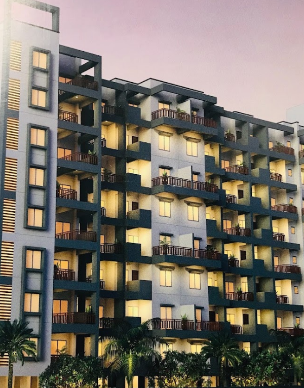
Locality Snapshot
About Fort, Mumbai
Advantages & Considerations
Why choose Fort for Living?
An honest look at what residents love — and what to watch out for.
Recent & Future Developments
What's New in Fort, Mumbai
Live news feed — last updated 27 April 2026
27 Apr2026
Mumbai's Water Metro Project Phase 1 to Connect Key Regions with 16 Routes and 26 Terminals
Mumbai is set to launch its Water Metro project, with Phase 1 planning 16 routes and 26 terminals to connect Mumbai with Navi Mumbai, Thane, Vasai, and other areas. Utilizing electric ferries, the project aims to significantly reduce travel time by up to 50% on certain routes, ease traffic congestion on roads and local trains, and provide an eco-friendly transportation alternative.
Source: The Financial Express
24 Apr2026
Mumbai's Prime Property Prices Rise, Shrinking Buying Power for $1 Million
Prime residential prices in Mumbai have seen an 8.7% increase, leading to a shrinking of purchasable space for $1 million (₹9.4 crore). According to Knight Frank's Wealth Report 2026, $1 million now buys 96 sq m in Mumbai, down from 99 sq m a year ago.
Source: BusinessToday
22 Apr2026
MMRDA Accelerates Atal Setu–Mumbai–Pune Expressway Link Project, Targeting February 2027 Completion
MMRDA has made significant progress on the 7.35 km Atal Setu–Mumbai–Pune Expressway connector. With foundation and girder works advancing, the project is on track for completion by February 2027. This will enable signal-free travel and faster connectivity between Mumbai and Pune.
Source: Free Press Journal
21 Apr2026
MMRDA Secures 216 Acres in Raigad for 'Mumbai 3.0' Project
MMRDA has secured 216 acres in the Raigad district for the 'Mumbai 3.0' project. This initiative aims to create an integrated urban ecosystem with specialized districts for technology, finance, healthcare, and logistics . Its strategic location near key infrastructure like Atal Setu and Navi Mumbai International Airport will enhance connectivity .
Source: MMRDA
13 Apr2026
Mumbai Developers Contribute ₹11,626 Crore to BMC in 2025-26
Mumbai's developers have paid a record ₹11,626 crore in premiums and development charges to BMC in the fiscal year 2025-26. This substantial contribution, driven by large-scale construction and redevelopment activities, highlights the robust state of the real estate market and its significant impact on the city's revenue.
Source: The Times of India
02 Mar2026
Mumbai Sees Record Property Registrations in February 2026
Mumbai recorded 12,848 property registrations in February 2026, generating over Rs 1,118 crore in stamp duty revenue. This marks the strongest February performance in 14 years, with a 6% year-on-year increase in registrations and a 20% rise in stamp duty collections. This surge indicates a robust real estate market, with a higher proportion of premium and large-ticket transactions.
Source: mid-day, Hindustan Times & 2 others
12 Dec2025
Kala Ghoda Beautification Project Nears Completion
The first phase of Mumbai's Kala Ghoda beautification project is nearing completion, featuring wider walkways, uniform signage, and a new plaza. The Rs 10 crore project aims to create a more pedestrian-friendly environment in the area, with restrictions planned for heavy vehicles, enhancing the aesthetic appeal and walkability of the cultural precinct.
Source: Free Press Journal
28 Nov2025
Worli Plot Leased for Development
The Brihanmumbai Municipal Corporation (BMC) has floated a tender to lease a plot in Worli for 30 years under a private participation model, expected to generate nearly ₹200 crore for ongoing civic projects. Earlier this year, BMC leased two prime plots, one near Crawford Market and another at the Worli Asphalt Plant, bringing in more than Rs. 1,152 crore.
Source: Free Press Journal, Times of India
01 Oct2025
MMRDA has allocated ₹40,187 crore for infrastructure projects in 2025-26, with a major focus on metro and road development, including coastal connectivity and new tunnels. Nearly 87% of the budget was earmarked for infrastructure development.
Source: The Hindu
23 Sept2025
The Maharashtra government plans to introduce a new policy to grant occupation certificates (OCs) to over 25,000 buildings in Mumbai's suburbs that have been operating without formal certification. The policy aims to rectify technical or administrative lapses made during construction and will be implemented transparently through an online system starting October 2. Housing societies are encouraged to apply for OCs, with no penalties for applications within the first six months, though premiums will be required for additional FSI usage.
Source: Moneylife, The Indian Express
Explore Key Amenities & Commute
What's Around Fort, Mumbai
Schools, transit, healthcare and essentials within walking distance — plus quick travel-time estimates to Mumbai's top business hubs.

Nearby Places
-
Karur Vysya Bank0.1 km
-
Masjid Manor Bldg0.1 km
-
Masood Shopping Centre0.2 km
-
Karnataka Bank0.2 km
-
Sk Shopping Centre0.2 km
Plan your Commute Travel time from Fort, Mumbai
Please Select the Starting Point to calculate the travel time
Data Intelligence
Price Insights for Fort, Mumbai
Quarterly trends, asking-price distribution, transactions and rental supply — powered by Square Yards' transaction graph.
Property Price Insights in Mumbai SouthProperty Demand vs Supply
Where the Market is Moving
Real-time signals from buyer searches and active inventory in Fort, Mumbai.
Fort Spotlight
Top Projects in Fort, Mumbai

Beauty Greenstone Heritage
Fort, Mumbai
1, 2, 3 BHK Apartment
₹ 1.86 Cr to 5.21 Cr

Kalpataru Heritage
Fort, Mumbai
Price On Request

Neumec Blue Moon Chambers
Fort, Mumbai
2, 3 BHK Apartment
Price On Request

Sanaya BNG House
Fort, Mumbai
Price On Request

Rajgir Chambers
Fort, Mumbai
Price On Request

Vedaang Mittal Avenue
Fort, Mumbai
Office Space
Price On Request

Construction House
Fort, Mumbai
Office Space
Price On Request

Gundecha Chambers
Fort, Mumbai
Office Space
Price On Request

Verma Chambers
Fort, Mumbai
Price On Request

Prospect Chambers Annexe
Fort, Mumbai
Price On Request

Mulla House Fort
Fort, Mumbai
Price On Request
Trusted Developers
Top Builders in Fort, Mumbai

Kalpataru
Mumbai
- 84Total Projects
- 50Experience

Neumec
Mumbai
- 44Total Projects
- 20Experience

K Raheja Constructions
Mumbai
- 9Total Projects

- 5Total Projects

Sanaya Realties Pvt Ltd
Mumbai
- 4Total Projects

Aplite Group
Mumbai
- 3Total Projects

Gundecha Group
Mumbai
- 2Total Projects

Vedaang Builders
Mumbai
- 1Total Projects
Browse Inventory
Properties Available in Fort, Mumbai
Flats in Fort Mumbai
for Sale

Office Spaces in Fort Mumbai
for Sale

1 BHK Flats
in Fort Mumbai for Sale

2 BHK Flats
in Fort Mumbai for Sale
Flats in Fort Mumbai
for Rent

PG in Fort Mumbai
for Rent

Shops in Fort Mumbai
for Rent

Office Spaces in Fort Mumbai
for Rent
1 BHK Flats
in Fort Mumbai for Rent
2 BHK Flats
in Fort Mumbai for Rent

3 BHK Flats
in Fort Mumbai for Rent
Neighborhood
Localities in & around Fort, Mumbai
Compare top neighbouring localities and discover micro-markets nearby.
Average Sale Price
₹ 40,500/sq. ft
Rental Yield
3.9%
3
For Rent
Rental Yield
3.9%
Rental Yield
3.9%
13
New Projects
5
For Rent
Rental Yield
3.9%
2
For Sale
Rental Yield
3.9%
3
For Sale
Explore more Localities Nearby
Share Your Fort, Mumbai Experience
Share your experience and help others make better property decisions.
Write a Locality Review
 Earn reward points
 after approval.
