- Rank 899 out of 1101 localities
- Quality of Life Score 3.4/5 See Details
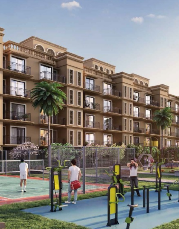
Explore Key Amenities in Kunigal, Bangalore

| Schools Near by Kunigal | |
|---|---|
| Sri Tejaswi English Higher Primary School | 0.33 KM |
| Rn Public School | 0.36 KM |
| Bus Stops Near by Kunigal | |
|---|---|
| Ksrtc Bus Stand Kunigal | 0.41 KM |
| Hospitals Near by Kunigal | |
|---|---|
| Shree Sapthagiri Hospital | 0.67 KM |
| Parks Near by Kunigal | |
|---|---|
| Crazy Park | 13.17 KM |
| Post Offices Near by Kunigal | |
|---|---|
| Sub Post Office Krs Agrahara | 1.12 KM |
| Banks Near by Kunigal | |
|---|---|
| Canara Bank Kunigal | 0.18 KM |
Check Travel Time from Kunigal to Major Areas in Bangalore
Please Select the Starting Point to calculate the travel time
Price Rates & Insights for Kunigal
![data-intelligence-card-logo]()
Property Demand & Supply in Kunigal, Bangalore
Properties for Sale in Kunigal, Bangalore
Property for Sale in Kunigal Bangalore
Under 50 Lakhs

Residential Plots in Kunigal Bangalore
for Sale
Explore Localities Nearby Kunigal, Bangalore
- Average Sale Price₹ 13,350 /Sq. Ft
- 10 New Projects in Thavarekere Magadi Road, Bangalore
- 1 Property for Sale in Thavarekere Magadi Road, Bangalore
- 1 New Projects in Veernanjipura, Bangalore
- 1 Property for Sale in Veernanjipura, Bangalore
- 1 Property for Sale in Ajjanahalli, Bangalore

- Rank178 out of 1101 localities
- Average Sale Price₹ 7,600 /Sq. Ft

- Rank254 out of 1101 localities
- 1 New Projects in Dobbaspet, Bangalore
- 4 Properties for Sale in Dobbaspet, Bangalore
- 19 Properties for Rent in Dobbaspet, Bangalore

- Rank697 out of 1101 localities
- 1 New Projects in Sondekoppa, Bangalore
- 1 Property for Sale in Sondekoppa, Bangalore

- Rank740 out of 1101 localities
- Average Sale Price₹ 7,350 /Sq. Ft
- 2 New Projects in Cholanayakanahalli, Bangalore
- 1 Property for Sale in Cholanayakanahalli, Bangalore
- Rank757 out of 1101 localities
- 2 New Projects in Sulivara, Bangalore
- 1 Property for Sale in Sulivara, Bangalore

- Rank796 out of 1101 localities
- 1 New Projects in Byalalu, Bangalore
- 1 Property for Sale in Byalalu, Bangalore