- Vibrant shopping scene with 10 supermarkets available.
- Numerous gyms and wellness centers for active lifestyles.
- Diverse dining options with 10 popular restaurants.
- Home
- Property in Gurgaon
- Police Line
Police Line, Gurgaon
Central Gurgaon, 122001
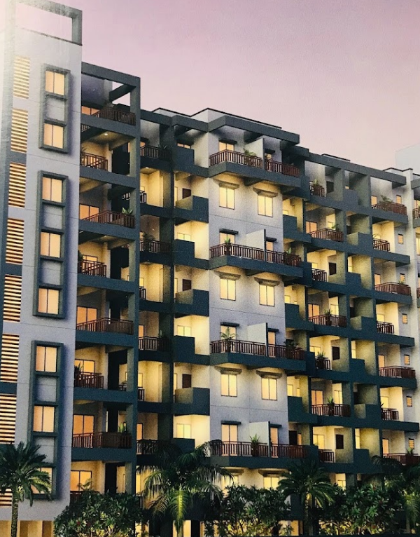
+1 Photos

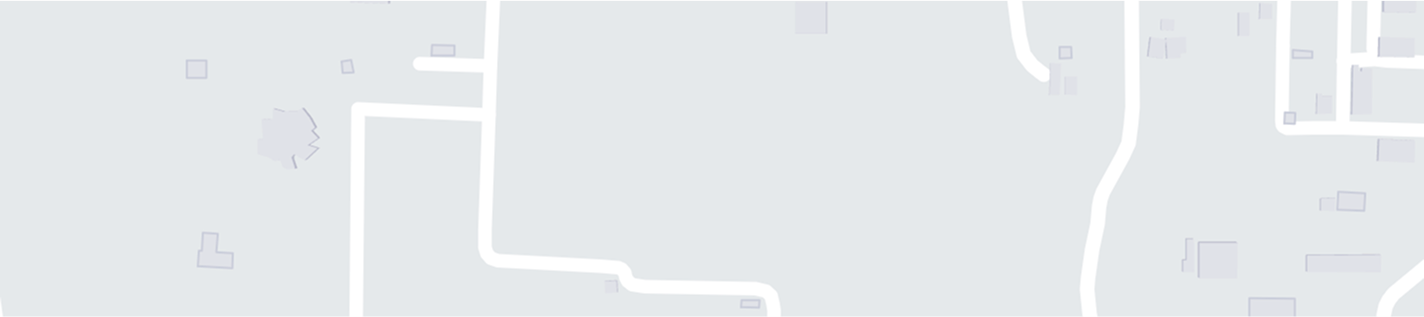
View on Map

- Rank 351 out of 527 localities
About Police Line, Gurgaon
- Ten bus stops ensure excellent local connectivity.
- Multiple supermarkets and dining options enhance convenience.
- Numerous schools and colleges foster educational opportunities.
- Transportation options: 10 bus stops enhancing connectivity.
- Nearby bus stops connect you to key destinations.
- Comprehensive bus network supports easy local travel.
- Ten hospitals ensure excellent healthcare accessibility.
- Variety of colleges promotes higher education opportunities.
- Strong healthcare and education enhance community well-being.
Why Choose Police Line for Living? Advantages & Considerations
What is Great?
- It is well-connected by bus, railway, auto-rickshaws, and Taxis are easily available
- Good schools and colleges are available in the locality
- It has several multi-specialty hospitals and reputed healthcare centers
- All basic amenities like markets, grocery shops, shopping malls, banks, etc. are available within walking distance
- Many green parks are availble in the locality
What is Concerning?
- Traffic congestion during peak hours is a cause of concern for daily commuters
- Some roads have potholes
- Air quality is poor and it gets worse during winters
- The power cut system is a major issue for the residents
- Illegal parking in some areas
Explore Key Amenities in Police Line, Gurgaon
| Schools Near by Police Line | |
|---|---|
| Neel Gagan Middle School | 0.30 KM |
| Government Boys Senior Secondary School | 0.37 KM |
| Sunrise Public School | 0.50 KM |
| Step & Learn Preparatory School Sector 15 Gurgaon | 0.55 KM |
| St Crispins Senior Secondary School | 0.69 KM |
| Shri Guru Nanak Girls High School | 0.82 KM |
| The Flying Birds Preparatory School | 0.85 KM |
| Asian Public School Marutikunj | 0.92 KM |
| Shri Shiv Narayan Sidheshwar Public School | 0.96 KM |
| The English School | 0.98 KM |
| Bus Stops Near by Police Line | |
|---|---|
| Mahavir Chowk / Gaushala Ground | 0.24 KM |
| Gurugram Bus Stand | 0.37 KM |
| Gurgaon Bus Stand | 0.37 KM |
| Patel Nagar | 0.42 KM |
| Nt Cabs Bus Stand Gurugram | 0.44 KM |
| Bsnl Exchange Sector-12 | 0.45 KM |
| Civil Hospital | 0.51 KM |
| Haryana Roadways Workshop | 0.53 KM |
| Volvo Booth | 0.60 KM |
| Jacobpura / Lajpat Nagar | 0.66 KM |
| Hospitals Near by Police Line | |
|---|---|
| Jyoti Hospital | 0.61 KM |
| Girraj Ji Bal Chikitsalay | 0.62 KM |
| Saraswati Hospital | 0.64 KM |
| Citizen Hospital & De-addiction Centre | 0.65 KM |
| Narayani Hospital | 0.67 KM |
| Sarman Hospital & Institute (ent & Dental) | 0.70 KM |
| Narula Hospital | 0.71 KM |
| Lotus Hospital ( Treatment At Affordable Cost) | 0.74 KM |
| Ahmed Hospital And Ortho Care | 0.74 KM |
| Bhanot Hospital | 0.75 KM |
| Clinics Near by Police Line | |
|---|---|
| Anand Imaging & Diagnostic Centre | 0.77 KM |
| Aarthi Scans & Labs | Gurugram | Diagnostic Center | 0.78 KM |
| Orange Health Labs | Health Checkups & Blood Tests At Home In Gurgaon | 0.85 KM |
| Modern Diagnostic & Research Centre | 0.96 KM |
| All Hair Solution | 1.00 KM |
| Lyfsmile - Mental Health Online Therapy & Counselling | #1 Emotional Wellness Coach | Best Psycholog | 1.19 KM |
| Dr Lal Pathlabs - Patient Service & Radiology Centre | 1.19 KM |
| Dr. Sushma Dental Clinic | 1.20 KM |
| Dayal Eye Centre | 1.32 KM |
| Lenskart.com At Old Railway Road | 1.51 KM |
| Gym Fitnesss Near by Police Line | |
|---|---|
| Hiit Group (home Ideal Instructive Training Pvt.ltd) | 0.14 KM |
| Posh Health Club | 0.58 KM |
| Sweat And Shine Fitness Studio | 0.84 KM |
| Athlete Gym Crossfit & Spa | 0.96 KM |
| Pump Nation Fitness | 1.04 KM |
| Fiziko Fitness Premium - Sector 14 | 1.16 KM |
| Yoga With Brajendra - The Best Yoga Trainer In Gurgaon | 1.46 KM |
| Body Fitness Gym ( By Sunil Ji ) | 1.47 KM |
| Swayamyog [yoga Fitness | 1.75 KM |
| Empire Of Fitness | 1.76 KM |
| Restaurants Near by Police Line | |
|---|---|
| Heritage | 0.59 KM |
| Mopp - Mad Over Parathas & Pakodas | 0.61 KM |
| Slice Of Italy | 0.84 KM |
| Butter Chicken Factory | 0.89 KM |
| The Chinese Kitchen | 0.96 KM |
| Cocktails & Dreams | 1.02 KM |
| Rolls Mania | 1.15 KM |
| Cad Tech Bar | 1.28 KM |
| Ryu Bar | 1.36 KM |
| Mala - Akbari | 1.37 KM |
| Temples Near by Police Line | |
|---|---|
| Pandupol Hanuman Mandir Gurugram | 0.40 KM |
| Digambar Jain Mandir | 0.78 KM |
| Shri Shiv Narayan Sidheshwar Mandir | 0.96 KM |
| Mahalaxmi Furniture Temple Store | 1.36 KM |
| Shri Mata Sheetla Devi Mandir (gurugram | 1.76 KM |
| Krishan Mandir | 1.96 KM |
| Hare Krishan Temple | 2.11 KM |
| Prachin Shiv Hanuman Mandir | 2.27 KM |
| Shri Laxmi Narayan Mandir | 2.36 KM |
| Jain Temple Jharsa | 2.57 KM |
| Food Others Near by Police Line | |
|---|---|
| Nic - Natural Ice Creams | 0.58 KM |
| Harish Bakers & Sweets Sadar Bazar | 1.05 KM |
| Floweraura | 1.19 KM |
| Harish Bakers & Sweets Sector 31 | 1.48 KM |
| Om Sweets | 1.49 KM |
| Om | 1.76 KM |
| Om Sweets Private Limited | 1.96 KM |
| Harish Bakery And Sweets | 2.03 KM |
| Bikaner Sweets | 2.10 KM |
| Om Bikaner Sweets | 2.45 KM |
| Supermarkets Near by Police Line | |
|---|---|
| Freshlee | 1.05 KM |
| R Mart | 1.33 KM |
| 24seven - Star Tower | 1.53 KM |
| Easyday Club | 1.61 KM |
| Fresh Signature | 1.75 KM |
| Modern Mart | 2.00 KM |
| Dainik Bazaar | 2.11 KM |
| Spencer's | 2.15 KM |
| Reliance Smart Point | 2.57 KM |
| Jio Mart | 3.44 KM |
| Clothings Near by Police Line | |
|---|---|
| Firstcry.com Store Gurgaon Civil Lines | 0.62 KM |
| Odhni - Gurugram | 0.66 KM |
| Fabindia | 1.06 KM |
| Manyavar | 1.59 KM |
| Firstcry.com Store Gurgaon Sector 14 | 1.62 KM |
| Pantaloons (dreamz Mall | 2.13 KM |
| The Raymond Shop | 2.57 KM |
| Cladway | 2.79 KM |
| Khadi Gramodyog Bhavan | 3.15 KM |
| Westside - Trillium Avenue | 3.18 KM |
Check Travel Time from Police Line to Major Areas in Gurgaon
Please Select the Starting Point to calculate the travel time

Price Rates & Insights for Police Line, Gurgaon
Comprehensive assessment of your property's current worth in the current market
Get Valuation Report
Properties for Rent in Police Line, Gurgaon
Flats in Police Line Gurgaon
for Rent

2 BHK Flats
in Police Line Gurgaon for Rent
Explore Localities Nearby Police Line, Gurgaon

- Rank269 out of 527 localities

- Rank233 out of 527 localities

- Rank141 out of 527 localities

- Rank132 out of 527 localities

- Rank105 out of 527 localities

- Rank76 out of 527 localities

- Rank35 out of 527 localities

- Rank17 out of 527 localities

- Rank16 out of 527 localities
- Average Sale Price₹ 5,600 /Sq. Ft
- Average Rental₹ 30 /Sq. Ft

- Rank5 out of 527 localities
- Average Sale Price₹ 10,500 /Sq. Ft