The neighbourhood of Patancheru, also popularly known as Pathan Cheru, is located in the city of Hyderabad's far northwestern corner. It is home to several temples constructed between the 12th and 15th centuries. It is an industrial zone. The Hyderabad-Solapur highway is 32 kilometres from the city centre and 18 kilometres from HITEC City. In the past, this location served as the administrative centre for the Bidar and Gulshanabad revenue divisions.
Seventy-two thousand one hundred seventy-eight people are living in the neighbourhood of Patancheru. The number of males in the population is 37,032, while the number of females is 35,146. The total land mass is around 50.41 square kilometres.
Brief Description
Patancheru Mandal is recognised as one of the most important neighbourhoods in Hyderabad. It is located in Ramchandrapuram Mandal, part of the Medak district. The World-Famous Temple dedicated to Lord Shiva may be found at this location, which lends cosmic significance to the area. Patancheru has several neighbouring cities, including Sangareddy, Tandur, and Bodhan. This region, which serves as a vital connecting link for Patancheru to other important cities in India, was traversed by the Hyderabad - Solapur National Highway 65.
Patancheru is a well-known industrial zone in India. It is the location of several important manufacturing companies, including Asian Paints, Agarwal Rubber Limited, Paragon Polymer Products Pvt. Ltd., Aurobindo Pharma, and many more. This city is expanding rapidly, and as a result, it is home to several important national institutes. Two of these institutes are the S.R.R. Satellite Township and the International Crops Research Institute for Semi-Arid Tropics.
What's Great about Patancheru
There are various positive aspects of living in Patancheru. Here are a few of them:
- The Lingampalli Railway Station is about 9 kilometres from the locality.
- The streets in Patancheru are free of potholes, which makes it easy for people to get around.
- Since Patancheru is a major industrial area, it is never lonely and devoid of people.
- The government is installing more streetlights in Patancheru.
- At night, there are a lot of police checks and patrolling for the safety of residents in Patancheru.
- Most streets are clean because the people in charge care greatly about their jobs in this area.
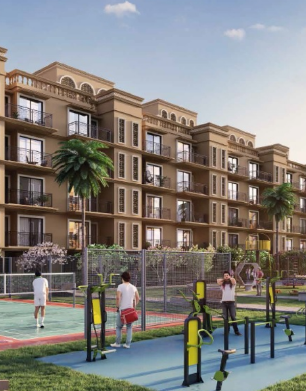
- The green belt near Patancheru is made up of GHMC parks, private parks, and gardens near lakes.
- Patancheru is near Emmaar Hills Township P Ltd and Vance Business Hub.
- Highway NH 65 and Nehru Outer Ring Road connect Patancheru to big cities, making it easy to get around.
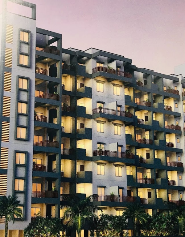
- Patancheru has a good mix of homes for people with high and middle incomes.
What's Not Great about Patancheru
Patancheru also has a few drawbacks. Residents are irritated by the frequent traffic jams near the Patancheru bus terminal. During the monsoon season, the power supply in several areas in West Hyderabad, including Patancheru, is unreliable, and there are frequent power outages. The double-decker buses that were supposed to run on the routes between Secunderabad and Patancheru and Afzalgunj and Patancheru have been delayed. During the rainy season, an inoperable sewage system results in an overflow of the sewer. However, with new development plans underway, the GMHC is taking measures to solve these issues.
Physical Infrastructure and Livability Index
Patancheru's location on the Hyderabad - Solapur Highway, which assures great connection to the city's other neighbourhoods, is a major draw for residents. The Lingampalli Railway Station is 9 kilometres away, while the Nagalapalli Railway Station is 11 kilometres away. You may get to any one of these train stations by taking National Highway - 65. Many buses are operated by the Andhra Pradesh State Road Transport Corporation (APSRTC).
It is possible to reach Rajiv Gandhi International Airport from Patancheru through National Highway 65 and Nehru Outer Ring Road. The airport is locacityted 46 kilometres away from Patancheru. Additionally, the Miyapur Metro Station is located 13 kilometres away from the city and is accessible through NH 65.
Social Infrastructure in Patancheru
There are various schools and hospitals with state-of-the-art technologies in Patancheru. Patancheru also has theatres, sports grounds and lakes for entertainment and recreational activities. Take a look at some of these social amenities in Patancheru:
- Schools and Colleges
Patanchru has good schools and colleges in the area. Here are a few of them:
- International School of Hyderabad
- Ellenki College of Engineering
- Euro Kidzee Pre-school
- The Gaudium School
- Candiidus International School
- Healthcare Centres
There are many hospitals in Patancheru like:
- Max Care Hospital
- Rainbow Children's Clinic
- Government Hospital Patancheru
- ESI Hospital
- UPHC Patancheru
- Restaurants and Bakeries
Patancheru has many places where you can enjoy amazing food with family and friends, like:
- Bon Vivant Food Court
- New Golden Bakers
- Magic Box
- Sri Ganesh Chat Bhandar
- Dostea Chai Cafe
- Banks
You can find many banks in the locality, like:
- Canara Bank
- Axis Bank
- HDFC Bank
- IDBI Bank
- Andhra Bank
- Parks
You can find various parks in Patancheru for children to play, like:
- JP Colony Park
- Gandhi Park
- APR Nature's Park
- Green Meadows Park
- Allwyn Colony Children's Park
- Shopping Malls and Markets
You can find numerous Shopping Malls and Markets for all necessary items, like:
- Telapur Shopping Complex
- HIG Shopping Complex
- Mahendra Shopping Center
- Victoria Shopping Mall
- Bus Terminals
You can avail of bus services in Patancheru through the following bus stands:
- TSRTC Bus Stand
- Patancheru Bus Terminal
- Metro Stations
The Red Line metro runs close to Patancheru.
- Miyapur Metro Station - 15.3 km
- Railway Station
The residents can catch trains from the following railway Station:
- Lingampalli Railway Station - 11.7 km
- Airport
You can travel to and from Patancheru through the airport as well.
- Rajiv Gandhi International Airport - 50.8 km
Popular Roads in Patancheru
National Highway 65 and Nehru Ring Road are major roads in Patancheru that pass through the centre of the neighbourhood. The National Highway 65 connects Patancheru with nearby areas and major cities. The TSRTC Bus Terminal is located on this road.
Indresham Road passes vertically in the north of Patancheru. This road connects almost every street on the northern side of Patancheru. All small and big markets, eateries and hospitals are located on this road.
Home Services in Patancheru
Various home services are available in Patancheru, like Interior Company, Urban Company, O.L.X., Laptop Repair World, A.V.R. Water Purifiers, and much more. Since Patancheru is located close to major cities and towns, other home services are readily available in the locality.
What's near Patancheru – Distance Calculator
Patancheru is located near several well-established localities like Miyapur, Kondapur, Nandigaon and much more. Moreover, the Miyapur Metro Station is easily accessible to the residents of Patancheru.
Look at this table to see the average distance to important nodes in Patancheru and beyond.
| Locality | Approximate distance from Patancheru | Commute Time from Patancheru | Cab Fare- Two way (Approx.) |
| Secunderabad | 32.4 km | 1 hour 12 minutes | Rs. 578 - Rs. 723 |
| Hyderabad | 56 km | 1 hour 9 minutes | Rs. 726 - Rs. 900 |
| Lingampalli Railway Station | 11.7 km | 25 minutes | Rs. 210 - Rs 260 |
| Hyderabad Airport | 50.8 km | 46 minutes | Rs. 1120 - Rs. 1300 |
How People Rate Patancheru in Telangana
People living in Patancheru find the locality a very peaceful and family-friendly area. They rate the locality a 4 out of 5 in terms of the environment due to slight pollution issues. They rated it a 4 out of 5 for connectivity to other areas, lifestyle and safety in the neighbourhood.
How to Visit Patancheru
Patancheru has a wide road network accessible by buses, cabs and autos. The Nehru Outer Ring Road and National Highway 65 pass through the locality and connects the area with major towns and cities. The nearest railway station, Lingampalli Railway Station, is about km away. The Miyapur metro station is also km away and provides metro connectivity to Patancheru. You can also take a flight and reach Patancheru from Rajiv Gandhi International Airport, which is minutes away.
Tourist Spots and Places To Visit in Patancheru
Patancheru has a few places you can visit with family and friends, like lakes, temples, mosques, gardens, etc. Some of them are:
- Saakhi Cheruvu
- Green Lake
- Hazrath Syed Murad Ali Shah
- Sri Venkateshwara Swamy Temple
Locality Comparison
Patancheru is quickly becoming one of the most popular places for home buyers and real estate investors in Telangana because it is peaceful, spiritual, and easy to get around. It stands out from other places in Telangana because it has a lot of amenities and is close to the city.
- Various industrial areas provide various job opportunities.
- Patancheru has state-of-the-art schools and hospitals.
So, people who live in Patancheru can easily get to various parts of the state. This makes it an ideal place to live for people looking to work in the industrial sector.


 Earn reward points