
Locality Snapshot
About Nazarathpettai, Chennai
Explore Key Amenities & Commute
What's Around Nazarathpettai, Chennai
Schools, transit, healthcare and essentials within walking distance — plus quick travel-time estimates to Chennai's top business hubs.

Nearby Places
-
Public High School0.8 km
-
Sundar Cinemas1.1 km
-
Ramadoss Multi Speciality1.3 km
-
Poonamallee Panchayat Office1.4 km
-
Reliance Supermarket1.4 km
Plan your Commute Travel time from Nazarathpettai, Chennai
Please Select the Starting Point to calculate the travel time
Data Intelligence
Price Insights for Nazarathpettai, Chennai
Quarterly trends, asking-price distribution, transactions and rental supply — powered by Square Yards' transaction graph.
Property Price Insights in Chennai WestProperty Demand vs Supply
Where the Market is Moving
Real-time signals from buyer searches and active inventory in Nazarathpettai, Chennai.
Browse Inventory
Properties Available in Nazarathpettai, Chennai
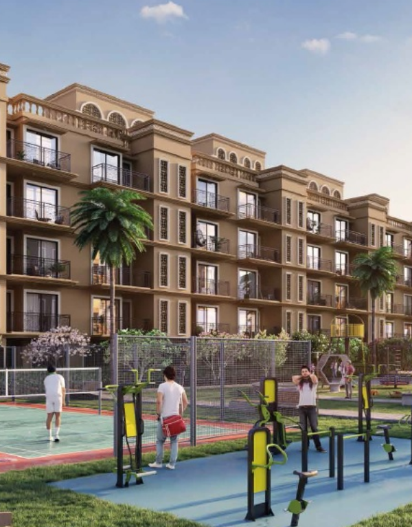
Property for Sale in Nazarathpettai Chennai
Under 50 Lakhs
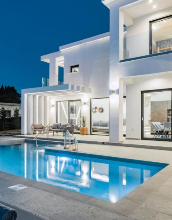
Villas in Nazarathpettai Chennai
for Sale

Residential Plots in Nazarathpettai Chennai
for Sale

3 BHK Flats
in Nazarathpettai Chennai for Sale

4 BHK Flats
in Nazarathpettai Chennai for Sale
Neighborhood
Localities around Nazarathpettai, Chennai
Compare top neighbouring localities and discover micro-markets nearby.
Average Sale Price
₹ 9,800/sq. ft
Rental Yield
3.9%
288
New Projects
5
For Sale
Average Sale Price
₹ 5,050/sq. ft
Rental Yield
3.9%
Average Sale Price
₹ 7,050/sq. ft
Rental Yield
3.9%
79
New Projects
1
For Sale
Average Sale Price
₹ 6,600/sq. ft
Rental Yield
3.9%
41
New Projects
1
For Sale
Average Sale Price
₹ 6,000/sq. ft
Rental Yield
3.9%
Rental Yield
3.9%
29
New Projects
1
For Sale
Average Sale Price
₹ 8,400/sq. ft
Rental Yield
3.9%
26
New Projects
4
For Sale
Rental Yield
3.9%
8
New Projects
5
For Sale
Rental Yield
3.9%
8
New Projects
1
For Sale
Rental Yield
3.9%
4
New Projects
1
For Rent
Share Your Nazarathpettai, Chennai Experience
Share your experience and help others make better property decisions.
Write a Locality Review
 Earn reward points
 after approval.
FAQ
Frequently Asked Questions
Find answers to common queries about Nazarathpettai, Chennai.
Is Nazarathpettai a good place to live in Chennai?
Yes, Nazarathpettai is a well-established residential area in Chennai. Residents appreciate the locality for its livability, connectivity, and easy access to everyday amenities.
What are the current property prices in Nazarathpettai, Chennai?
Property prices in Nazarathpettai are around ₹4,500 per sq ft on average. Based on the project, property type, and exact location, prices usually range between ₹₹ 35 Lakhs to 1.15 Crore.
What is the PIN code of Nazarathpettai?
Nazarathpettai has a PIN code of 600123, which is used for postal services, courier deliveries, and official address purposes.
What types of residential properties are available in Nazarathpettai, Chennai?
Homebuyers and tenants can choose from configurations like , based on their needs and budget.
How well is Nazarathpettai connected to other parts of Chennai?
Nazarathpettai has good connectivity to major areas of Chennai.
Which areas are located near Nazarathpettai in Chennai?
Nearby localities include Iyyappanthangal, Kundrathur, Kattupakkam, Thiruverkadu, Thirumazhisai, providing smooth connectivity and easy access to other important parts of the city.
Are there schools, hospitals, and shopping centres near Nazarathpettai, Chennai?
Yes, Nazarathpettai is well-supported by essential social infrastructure.
