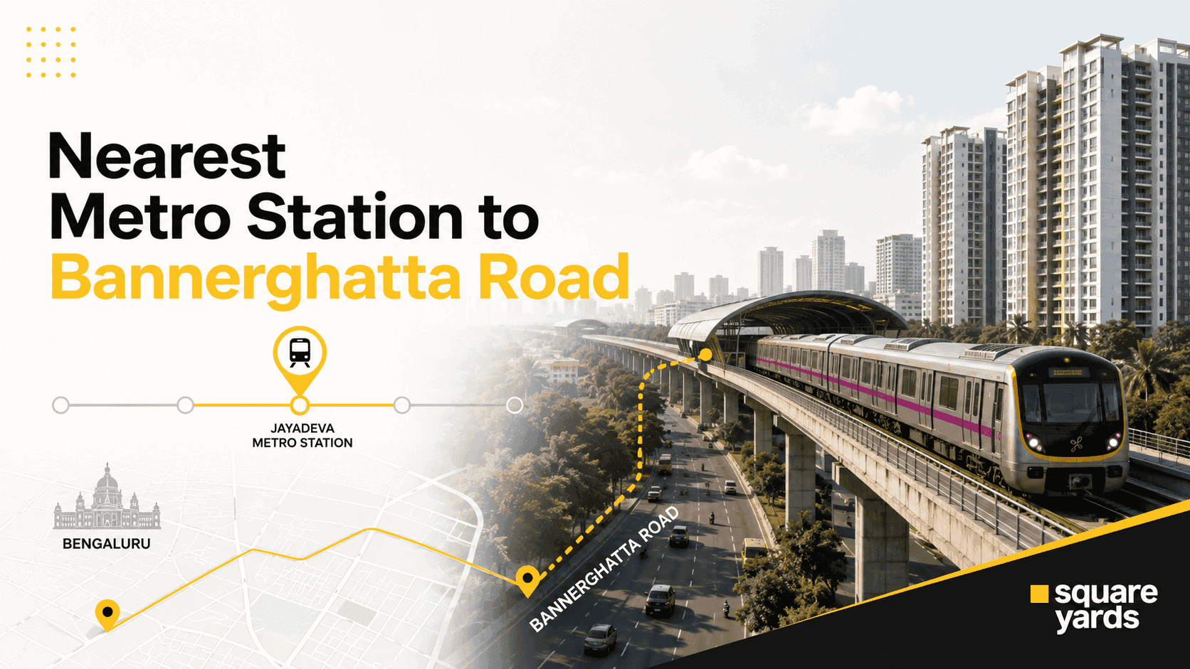
Right now, the nearest metro stations\ to Bannerghatta Road are Jayadeva Hospital and Central Silk Board, both on the Yellow Line, and both sitting at the northern end where Bannerghatta Road meets Hosur Road and the Outer Ring Road. If you’re further down toward JP Nagar or Bilekahalli, you’re looking at Green Line stations instead and a short auto or cab ride to close the gap. That gap is about to shrink a lot: the Pink Line, opening in phases through 2026, runs directly along Bannerghatta Road itself.
Quick answer: it depends on which stretch of Bannerghatta Road you mean, because the route is long. The road runs close to 20 km, from the Audugodi and Dairy Circle end near the city, down through JP Nagar, Arekere, and Bilekahalli, all the way to Anjanapura and the national park. So “the nearest metro station to Bannerghatta Road” changes depending on where you’re standing.
- Quick reference: Metro Stations Near Bannerghatta Road
- 1. Jayadeva Hospital: the closest operating station and future interchange
- 2. Central Silk Board: useful today, an interchange tomorrow
- 3. Jaya Prakash Nagar: the practical option for JP Nagar and Arekere
- 4. Yelachenahalli: the fallback for the deep south stretch
- 5. The Pink Line: the real game-changer for Bannerghatta Road
- Getting to Bannerghatta Road from major parts of Bangalore
- Metro timings for Bannerghatta Road stations
- Last-mile connectivity from metro to Bannerghatta Road
- What metro connectivity means for property in Bannerghatta Road
- Localities near Bannerghatta Road worth comparing
- Why this matters beyond the commute
Quick reference: Metro Stations Near Bannerghatta Road
|
Metro Station |
Metro Line |
Status |
Segment Served |
Distance / Travel |
|
Jayadeva Hospital |
Yellow Line (Pink Line interchange from 2026) |
Operational |
Northern end, Hosur Road–Outer Ring Road junction |
At the junction, 5-10 min walk |
|
Central Silk Board |
Yellow Line (Blue Line interchange, upcoming) |
Operational |
Northern end, near Adugodi |
~1 km, 10-12 min walk |
|
RV Road |
Yellow & Green Line interchange |
Operational |
Further north, Jayanagar side |
~3-4 km, short cab ride |
|
BTM Layout |
Yellow Line |
Operational |
Mid-stretch, near Tavarekere |
~2-3 km, auto-rickshaw recommended |
|
Jaya Prakash Nagar |
Green Line |
Operational |
Mid-southern stretch, JP Nagar |
~1.5-2 km, 15-16 min walk |
|
Yelachenahalli |
Green Line |
Operational |
Deep south, near Anjanapura |
~8-10 km, cab or BMTC bus recommended |
|
Gottigere (Kalena Agrahara) |
Pink Line |
Opens August 2026 |
Southern stretch |
Will sit directly on Bannerghatta Road |
|
Hulimavu |
Pink Line |
Opens August 2026 |
Mid-stretch, near Meenakshi Mall |
Will sit directly on Bannerghatta Road |
|
Tavarekere |
Pink Line |
Opens August 2026 |
Mid-stretch |
Close, elevated station |
|
Dairy Circle Junction |
Pink Line |
Phase 2, December 2026 |
Northern end |
Close, underground station |
Worth flagging upfront, same as with any long arterial road: these distances shift depending on exactly which point of Bannerghatta Road you’re measuring from. A flat near IIM Bangalore and a plot near Gottigere are both technically “on Bannerghatta Road,” but they’re roughly 10 km apart, so their nearest metro stations are entirely different stories.
1. Jayadeva Hospital: the closest operating station and future interchange
Distance from Bannerghatta Road: right at the junction
Metro Lines: Yellow Line (Pink Line interchange from 2026)
Walking Time: 5 to 10 minutes depending on which stretch
Jayadeva Hospital metro station sits exactly where Bannerghatta Road meets Hosur Road and the Outer Ring Road, and it’s already the largest metro station in Bengaluru, built across five levels to eventually handle both the Yellow Line and the Pink Line. For anyone at the northern end of Bannerghatta Road, near Audugodi, Wilson Garden, or Dairy Circle, this stop is the station that actually matters.
The station takes its name from Sri Jayadeva Institute of Cardiovascular Sciences right next door, which also makes it a genuinely useful stop for patients and visitors, not just commuters. Once the Pink Line opens, the station becomes one of only two interchange points on the entire Bannerghatta Road corridor, which is a big deal for property in the immediate area.
How to get there from Bannerghatta Road:
- Most points near the Audugodi and Wilson Garden ends are a 5- to 10- minute walk away.
- Autos and app cabs pick up regularly from the station forecourt.
- BMTC buses running along Hosur Road stop close by.
If you’re evaluating property for sale in Bannerghatta Road near this stretch, direct walking access to a five-level interchange station is one of the strongest connectivity advantages on the entire corridor, and it’ll only get better once the Pink Line trains start running.
2. Central Silk Board: useful today, an interchange tomorrow
Distance from Bannerghatta Road: about 1 km
Metro Line: Yellow Line (Blue Line interchange under construction)
Travel Time by Auto: 4 to 6 minutes
Central Silk Board is the other Yellow Line station serving the northern stretch, and it sits at one of Bengaluru’s most notoriously congested junctions, the meeting point of Hosur Road and the Outer Ring Road. Once the Blue Line interchange is complete, the station will connect Bannerghatta Road commuters straight through to the airport corridor without a road journey across the city.
For now, it works well as a Yellow Line access point for anyone commuting toward Electronic City or further into the IT corridor, and it takes some of the daily pressure off Jayadeva Hospital station during peak hours.
How to get there from Bannerghatta Road:
- Autos are the easiest option given the junction’s traffic.
- Several IT shuttle services also stop near the station.
- Expect this junction to be genuinely slow during office hours, on foot or by road.
3. Jaya Prakash Nagar: the practical option for JP Nagar and Arekere
Distance from Bannerghatta Road: about 1.5 to 2 km
Metro Line: Green Line
Walking Time: 15 to 16 minutes
This is the station most people living around JP Nagar’s later phases, Arekere, and the IIM Bangalore stretch end up using, since there’s no direct metro on this part of Bannerghatta Road yet. It isn’t a walk-out-your-door situation for most residents, more a short auto ride, but it does put the rest of the Green Line, and Majestic beyond it, within easy reach.
Property listings in this belt often mention proximity to Jaya Prakash Nagar station as a selling point, and it’s fair, given there isn’t a closer alternative until the Pink Line opens.
How to get there from this stretch of Bannerghatta Road:
- Autos and e-rickshaws run frequently between JP Nagar’s inner roads and the station.
- Several BMTC routes connect the area directly.
- Walking is realistic only from the closer JP Nagar phases.
4. Yelachenahalli: the fallback for the deep south stretch
Distance from Bannerghatta Road (near the National Park): roughly 8 to 10 km
Metro Line: Green Line
For the far southern end, near Anjanapura and Bannerghatta National Park, there’s no getting around it: Yelachenahalli is the nearest operating metro station, and it’s a proper cab or bus ride away, not a walk. This is the one segment of Bannerghatta Road where metro access still lags behind the rest of the corridor.
BMTC buses run fairly often between Yelachenahalli and the Bannerghatta Circle area, and autos are readily available to find outside the station. It’s not inconvenient exactly, just not the kind of “step out and you’re there” access that the northern stretch already enjoys.
5. The Pink Line: the real game-changer for Bannerghatta Road
This project is the one to watch. Unlike the Yellow Line, which runs parallel to Hosur Road, the Pink Line is actually routed along Bannerghatta Road itself, connecting Kalena Agrahara (formerly Gottigere) in the south to Nagawara in the north, a 21.26 km corridor with 18 stations in total.
|
Phase |
Section |
Stations Covered |
Expected Opening |
|
Phase 1 |
Elevated section |
Kalena Agrahara → Gottigere → Hulimavu → Jayadeva Hospital → Tavarekere |
August 2026 |
|
Phase 2 |
Underground section |
Dairy Circle → Langford Town → MG Road (interchange with Purple Line) → Nagawara (12 underground stations in total) |
December 2026 |
Once fully operational, the Pink Line will put stations at Gottigere, Hulimavu, and Tavarekere directly on Bannerghatta Road, with an interchange to the Yellow Line at Jayadeva Hospital. The Pink Line is expected to be the single biggest driver of property demand along the corridor over the next few years, and it’s already showing up in land prices near Gottigere and Hulimavu.
A word of caution for anyone reading this closer to the launch dates: BMRCL’s timelines on Namma Metro projects have shifted before, so treat August and December 2026 as the current targets rather than guaranteed dates, and check for updates before quoting them to a buyer.
Getting to Bannerghatta Road from major parts of Bangalore
From Electronic City:
Take the Yellow Line straight to Central Silk Board or Jayadeva Hospital, then take an auto the rest of the way. No interchange is needed, and it avoids the Hosur Road traffic entirely.
From Majestic and the city center:
The purple line to green line change happens at Nadaprabhu Kempegowda Station, then ride down to Jaya Prakash Nagar or RV Road depending on which stretch you’re headed to.
From Whitefield:
Take the Purple Line all the way to Majestic, then switch to the Green Line. It’s a longer ride simply because of the distance, not any awkward interchange.
From the Airport:
The Blue Line is still under construction on this side, so for now it’s a road journey via NICE Road or Hosur Road, and that’s expected to change once the Central Silk Board interchange opens.
Metro timings for Bannerghatta Road stations
|
Metro Line |
First Train |
Last Train |
Sunday Start |
|
Yellow Line (Jayadeva Hospital / Central Silk Board) |
5:00 AM |
11:05 PM |
7:00 AM |
|
Green Line (Jaya Prakash Nagar / Yelachenahalli) |
5:00 AM |
11:00 PM |
7:00 AM |
|
Pink Line (once operational) |
5:00 AM |
11:00 PM |
7:00 AM |
Pink Line timings are provisional, based on standard Namma Metro operating hours, and should be confirmed against BMRCL’s official schedule once the line goes live. Trains generally run every 7-8 minutes at peak and every 10-15 minutes off-peak on the operational lines.
Last-mile connectivity from metro to Bannerghatta Road
|
Travel Option |
Availability |
Typical Fare |
Best For |
|
Walking |
Northern stretch only |
Free |
Reaching Audugodi, Wilson Garden, and IIM-B side lanes |
|
Auto-rickshaw |
Available at all major stations |
₹30-₹120 |
Short trips to JP Nagar, Arekere, and Bilekahalli |
|
Ola / Uber |
Available 24×7 |
₹100-₹300 |
Longer journeys, including the National Park end |
|
BMTC Buses |
Frequent along the main road |
₹10-₹30 |
Budget travel across the full corridor |
During peak hours, especially around the Central Silk Board junction, road traffic on Bannerghatta Road can be genuinely slow, so the metro-plus-auto combination is usually faster than a straight cab ride from the city.
What metro connectivity means for property in Bannerghatta Road
Metro access has become one of the clearest price drivers along this corridor. Once the Pink Line opens, it will change how people think about buying here, and prices have already started reacting to that expectation.
Part of the equation is the Pink Line itself. Part of it is the ongoing widening of Bannerghatta Road from 80 feet to 160 feet, which is slowly easing the congestion that’s plagued the Hulimavu and IIM Bangalore stretch for years. NICE Road and the Satellite Town Ring Road also help by reducing travel time to the airport and neighboring towns.
Gottigere and Hulimavu are worth watching closely; both are set to be stops on the Pink Line, and that’s already shaping demand in the areas around them. If someone’s searching for the nearest metro station to Bannerghatta, these two names come up first, and for good reason.
For buyers and investors, property for sale in Bannerghatta Road still covers a fairly wide range from smaller plots near Dinnepalya and Koppa Gate to gated communities closer to the upcoming metro stops. The corridor’s mix of IT proximity, IIM Bangalore, and steadily improving connectivity keeps rental demand fairly steady across the board, and that’s unlikely to change once the metro is actually running.
Localities near Bannerghatta Road worth comparing
If you’re weighing Bannerghatta Road against other South Bengaluru corridors with similar connectivity trajectories, here’s how a few nearby micro-markets stack up (figures approximate, verify before publishing):
|
Locality |
Approx. Price Range |
Connectivity Note |
|
₹9,500-13,000/sq ft (land) |
Pink Line stations opening in 2026 |
|
|
₹10,000-15,000/sq ft |
Green Line access with established social infrastructure |
|
|
₹6,000-9,000/sq ft |
Direct Yellow Line connectivity, major IT hub |
|
|
₹9,000-13,000/sq ft |
Yellow Line access: dense, well-connected central locality |
|
|
₹6,500-10,000/sq ft |
Green Line extension: developing residential corridor |
|
|
₹5,000-7,500/sq ft |
Yellow Line connectivity: more affordable entry point |
Bannerghatta Road’s edge over most of these comparisons isn’t just one metro line; it’s the combination of two, plus IIM Bangalore, plus NICE Road access, all converging on roughly the same stretch. That kind of layered connectivity is particularly difficult to replicate in a newer corridor, even one growing faster on paper.
Why this matters beyond the commute
Bannerghatta Road has always had the fundamentals: IIM Bangalore, a mix of IT and residential demand, and a direct link to the airport via NICE Road. What it’s lacked, at least until now, is a metro line running through its middle rather than parallel to it on Hosur Road. The Pink Line fixes that directly, and the timing lines up with a road-widening project that’s already easing the worst of the congestion near Hulimavu.
None of these changes makes the corridor problem-free. The Central Silk Board junction remains one of the city’s genuine traffic flashpoints, and the southern stretch near the National Park will likely still depend on autos and buses even after the Pink Line opens, since it doesn’t extend that far south. It is worth knowing that the entire 20 km will not suddenly feel walkable.
Also Read
| JP Nagar | JP Nagar Nearest Metro Station |
| BTM Layout Bangalore | BTM Layout Bangalore Nearest Metro Station |
| Jayanagar | Jayanagar Nearest Metro Station |
| Banashankari Bangalore | Banashankari Bangalore Nearest Metro Station |
Frequently Asked Questions:
1. What is the nearest metro station to Bannerghatta Road?
It varies by stretch. Jayadeva Hospital and Central Silk Board, both on the Yellow Line, serve the northern end. Jaya Prakash Nagar and Yelachenahalli, on the Green Line, cover the mid and southern stretches, though there is a longer gap to close by auto.
2. Is there a metro station directly on Bannerghatta Road right now?
Not yet. The Yellow Line runs parallel to it along Hosur Road. That changes once the Pink Line opens, since it’s routed along Bannerghatta Road itself.
3. When will the Pink Line open on Bannerghatta Road?
Phase 1, from Kalena Agrahara to Tavarekere, is targeted for August 2026. Phase 2, the underground stretch to Nagawara, is targeted for December 2026. Both dates are current BMRCL targets, not confirmed final dates.
4. Which metro line connects Bannerghatta Road to Electronic City?
The Yellow Line, via Central Silk Board. It’s a direct ride with no interchange required.
5. How do I get from Bannerghatta Road to the airport by metro?
There’s no direct metro route yet, since the Blue Line airport interchange at Central Silk Board is still under construction. For now, NICE Road or Hosur Road by cab remains the faster option.