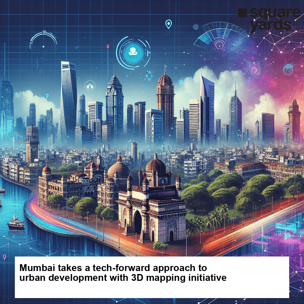
The municipal corporation of Mumbai is spearheading a groundbreaking initiative to revolutionize urban planning and development through advanced mapping technologies. The project aims to conduct 3D mapping of the city’s infrastructure, providing detailed visualizations that will aid in decision-making and resource allocation for infrastructure projects.
Insightful Visualizations for Urban Planning and Development
By embracing state-of-the-art technology, the civic body of Mumbai seeks to obtain comprehensive insights into the spatial layout of the city. The 3D mapping project will afford stakeholders in urban governance and development an unprecedented understanding of existing infrastructure, enabling more informed decision-making for future projects.
A Catalyst for Informed Decision-Making
Through detailed visualizations, the project will provide key decision-makers with vital information about the current state of infrastructure in various areas of Mumbai. This comprehensive knowledge base will allow for optimized resource allocation, ensuring that limited resources are utilized effectively and efficiently.
Enhancing Mumbai’s Livability and Sustainability
The launch of this unprecedented 3D mapping project represents Mumbai’s commitment to leveraging technology in the pursuit of smarter and more sustainable urban development. The insights from the project are expected to contribute significantly to making Mumbai a more livable and resilient city by guiding development strategies and identifying areas that require improvement.
Monitoring Progress and Anticipating Impact
As the project unfolds, various stakeholders in urban governance and development will closely monitor its progress. The ability to analyze the city’s infrastructure in three dimensions will provide valuable information to policymakers, urban planners, and engineers alike. By monitoring impacts and progress in real-time, necessary adjustments can be made to ensure that goals are met efficiently.
A Bold Step Towards Technological Integration
Mumbai’s move to undertake a 3D mapping project of its infrastructure is a testament to its commitment to embrace technology-driven solutions for urban challenges. By integrating advanced mapping technologies, the city authorities are leading the way in utilizing data-driven insights to guide urban planning and create a more sustainable and resilient city for its citizens. In conclusion, the pioneering 3D mapping project undertaken by the municipal corporation of Mumbai has the potential to transform urban planning and development in the city. By leveraging advanced mapping technologies, the project aims to provide insightful visualizations that will enhance decision-making, resource allocation, and ultimately contribute to the long-term livability and sustainability of Mumbai’s urban environment.